Alaska adventure drive
Undertaken 2014
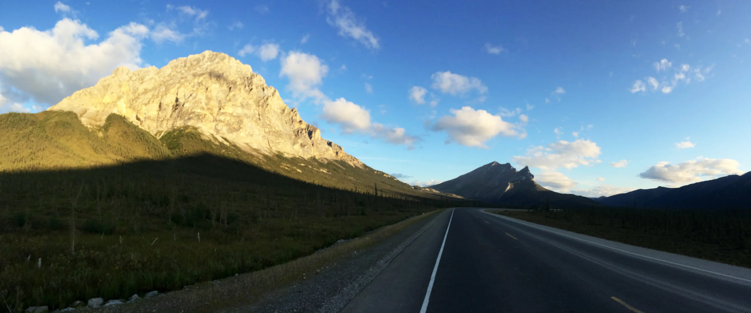
The James W. Dalton Highway, also referred to as the Dalton Highway, or Alaska Route 11, is a 414-mile road in Alaska beginning just north of Fairbanks and ending at Deadhorse near the Arctic Ocean and the Prudhoe Bay oil fields. It was constructed as a supply haul road to support the Trans-Alaska Pipeline System in 1974. It is still used as the primary source of goods delivered to the North Slope oil fields and is open to the public.
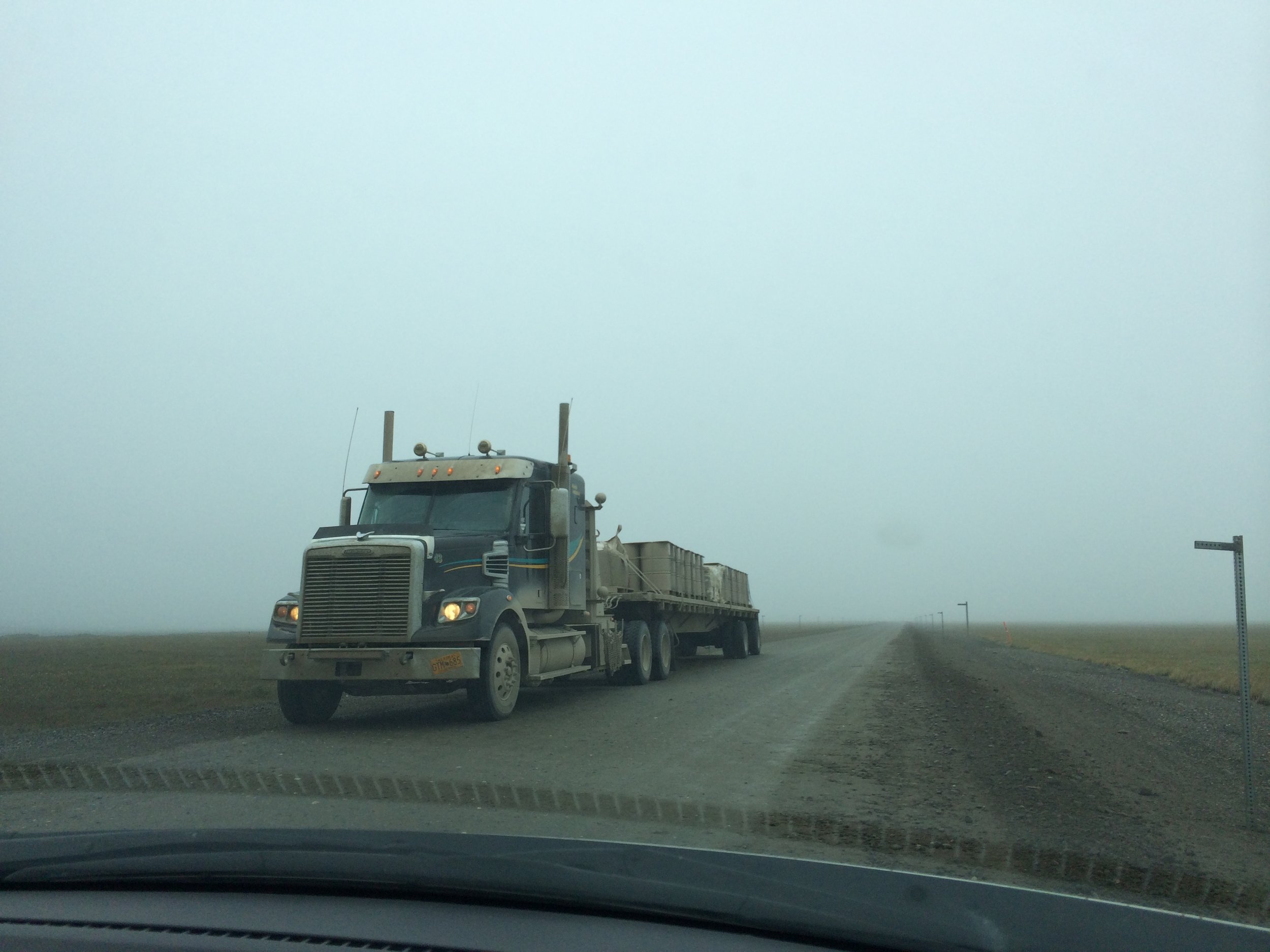
The highway, which directly parallels the pipeline, is one of the most isolated roads in the United States. There are only three commjnities along the 400+ mile road: Coldfoot (pop. 10), Wiseman (pop. 22), and Deadhorse/Prudhoe Bay. Fuel is available at the E. L. Patton Yukon River Bridge, as well as Coldfoot and Deadhorse. The road is mostly gravel with a few paved sections along the way. Parts are rather primitive, but since it is such an artery to the folks living and working in the oil fields it is well maintained year-round. Its better than many BLM or Forest Service roads in the Lower 48. The nearest medical facilities are in Fairbanks and Deadhorse.
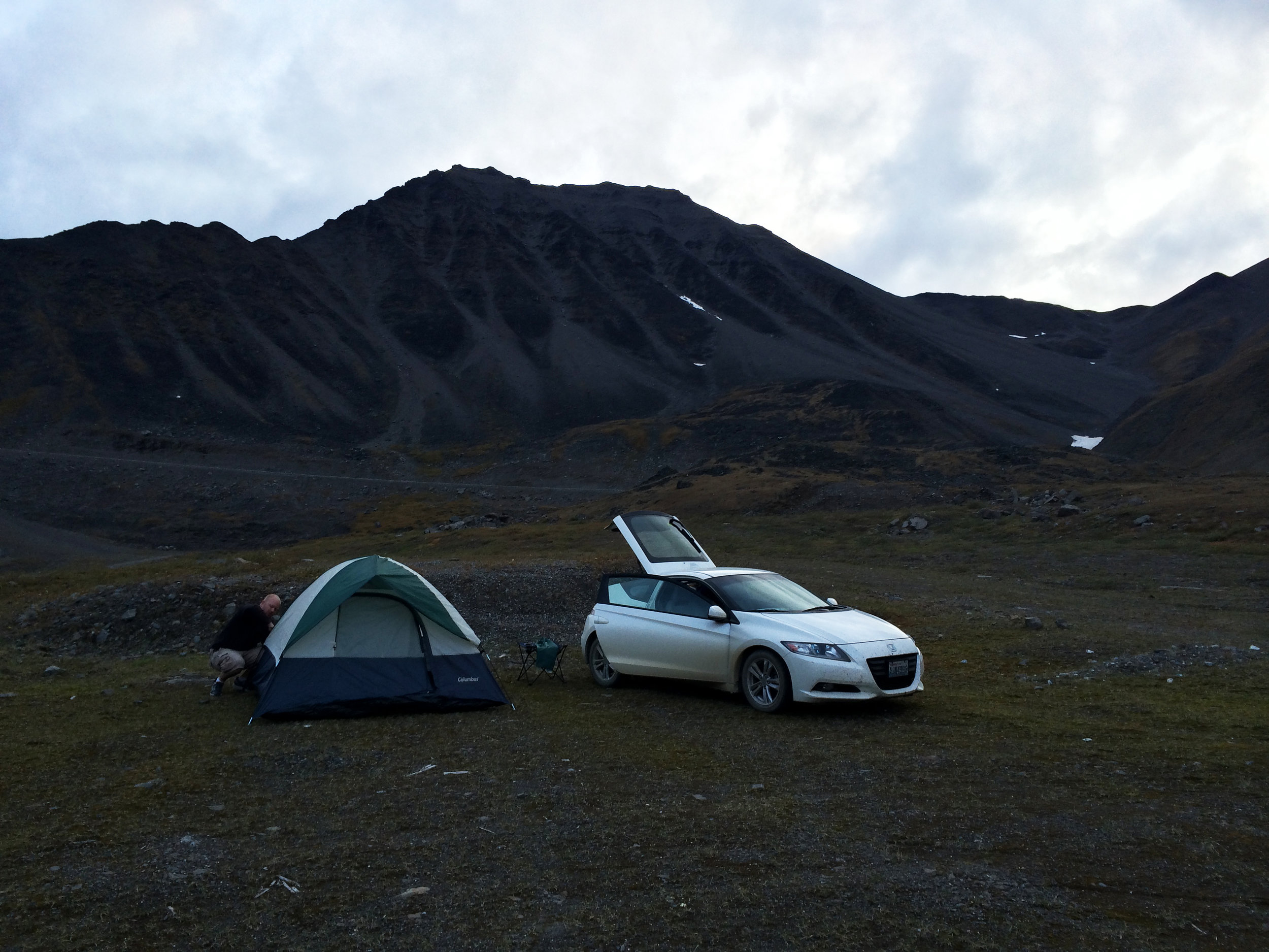
Anyone embarking on a journey on the Dalton is encouraged to bring survival gear, particularly during winter when temperatures can drop to 40 below or more. Small vehicles and motorcycles should be aware that this not a typical highway for common motorists. It is a supply line used by large trucks often carrying oversize loads. It is advisable to cede the right-of-way to other vehicles. Accidents do happen along this route and medical response can be hours away and the cost of towing a damaged or totalled vehicle into Fairbanks can run many thousands of dollars.
Google Street View has coverage of nearly the entire highway, which can now be seen on Google Maps (imaging stops at the security gate leading to the Prudhoe Bay oil field). It is one of the most northerly routes of Google street view in North America.


